Interactive Map
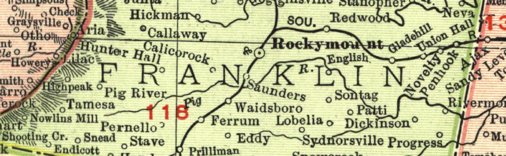
We used ArcGIS Online to create an interactive map featuring 150+ historic schools in Franklin County, Virginia. Zoom in on different parts of the county for a closer look. Clicking on any of the schoolhouse icons will provide information about that school. This map remains a work in progress. We are constantly adding new schools when we find them. In some cases, the location of the schoolhouse is approximate. If you can provide a more specific location for any of the schools, please let us know and we’ll update the map accordingly.